Bank erosion and morphology of alluvial rivers
Sand-bedded rivers maintain a stable width despite high fluid stresses acting on the riverbanks because cohesive muddy banks prevent runaway erosion. It is typically thought that riverbank erosion, which drives meandering and channel migration, occurs when fluid shear stress exceeds a critical stress for entrainment of the muddy bank material. This critical stress for bank erosion, in turn, has been proposed as the primary control of river width. However, these excess-shear stress theories typically require local parameterization and fail to be generalizable. I explore an alternate hypothesis for riverbank erosion in which erosion of muddy cohesive banks is driven by a combination of abrasion from suspended sand and fluid shear stress. I am also testing a new hypothesis for the co-occurrence of vegetation and meandering rivers. These work are done by combining theory, laboratory experiments at Caltech, and field observations.
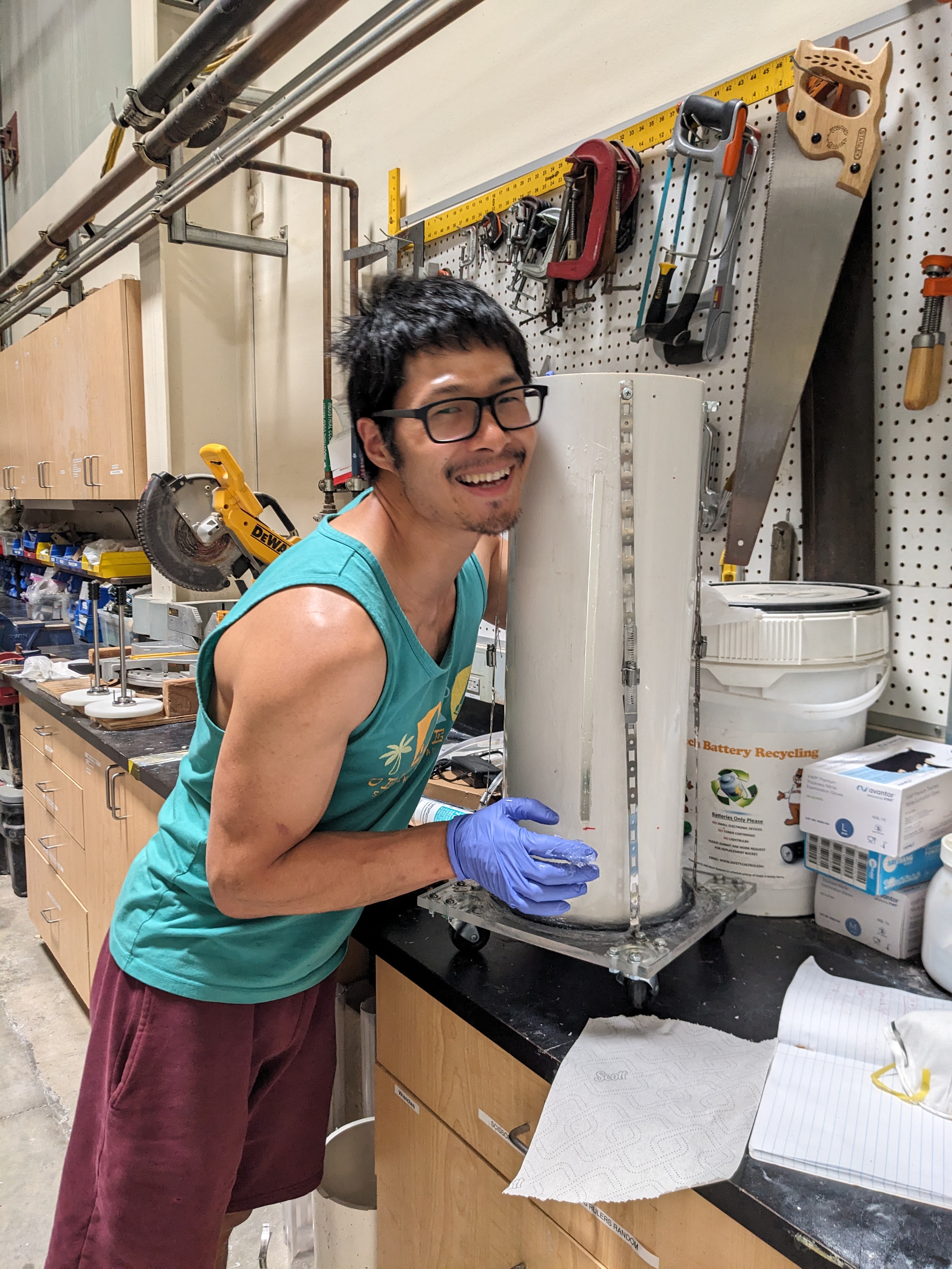 [Build Abrasion Mills]
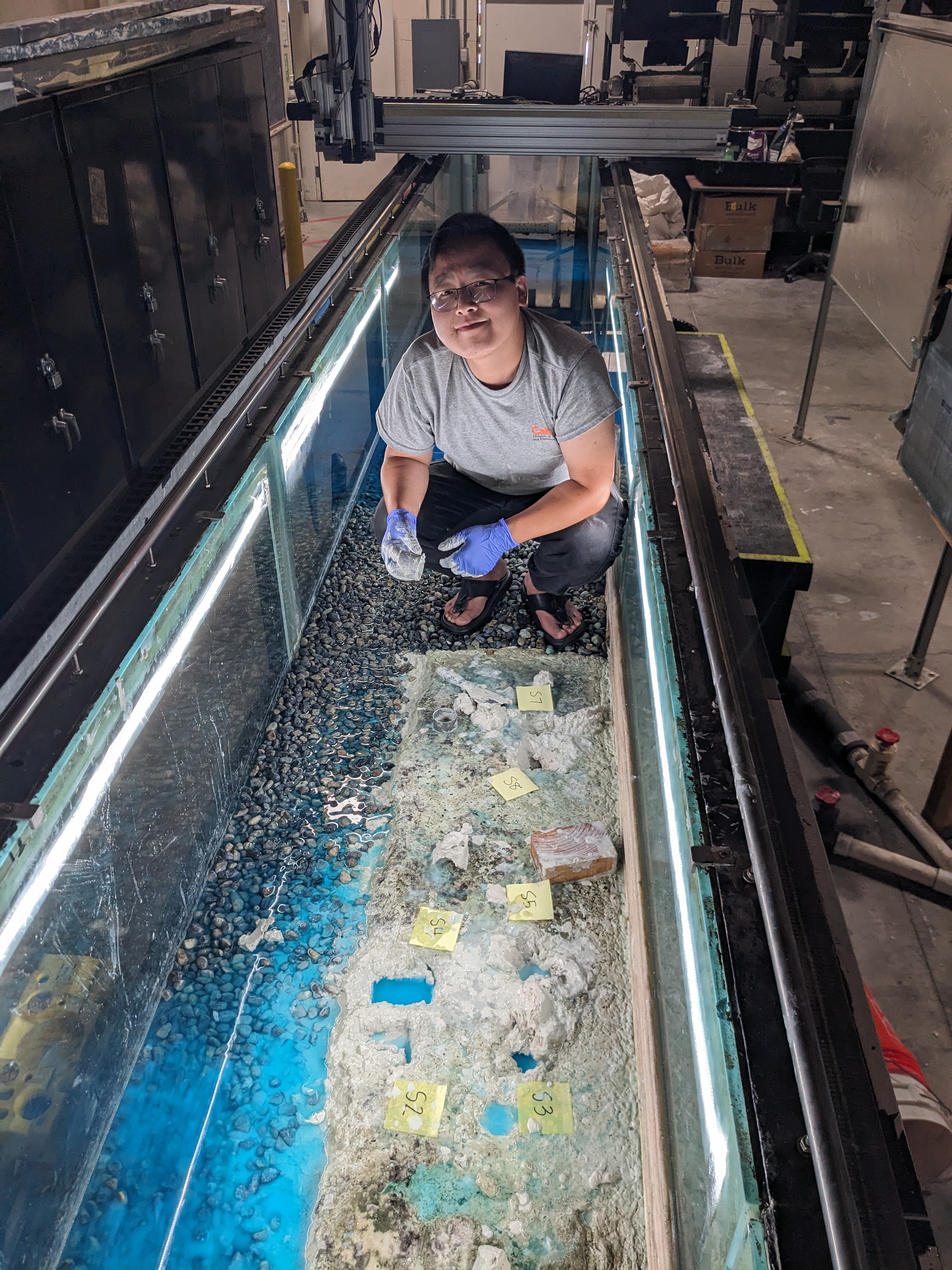 [Muddy bank erosion in a flume]
Adjustment of Bedrock Channel Width
Bedrock canyons are among the most spectacular erosional landforms on Earth. The erosional processes that carve canyons dictate the pace of landscape evolution and the coupling between tectonics and climate. Most landscape evolution models assume that channel slope is the primary variable that responds to temporal and spatial variations in climate, tectonics, and lithology. However, channel width can adjust much faster than channel slope. Understanding bedrock channel width adjustment remains a stubbornly difficult problem, making it challenging to incorporate into landscape evolution models.
To explore controls on bedrock channel width, I develop mechanitsic models for lateral erosion by impacts of bedload and suspended load, simulate bedrock channel evolution to explore the width dynamics, and use field observations in Fraser Canyon, British Columbia and flume experiments to investigate the local variations in cross-sectional morphology and flow dynamics.
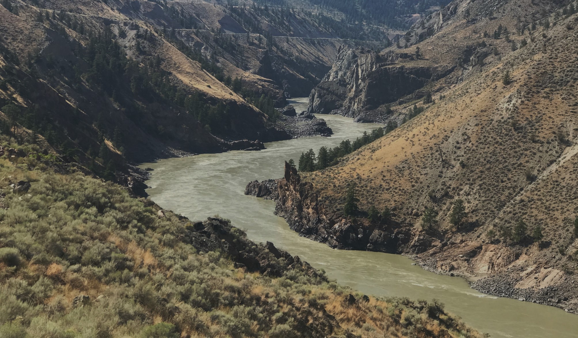 [Bedrock Canyon in the Fraser River]
Role of sediment in controlling the feedback among topography, climate and tectonics
Sediment links topography to climate, tectonics, and lithology by governing rates of river incision into bedrock. Sediment, in turn, results from weathering of rock on hillslopes, which depends on local climate, erosion rate, and rock properties. Hence, sediment mediates the interactions between topography and climatic and tectonic forcing in evolving landscapes. However, conventional landscape evolution models do not explicitly account for the role of sediment. Most modeling studies use a stream power model, in which bedrock incision is a function of discharge, channel slope and rock erodibility only.
I couple a landscape evolution model with a weathering model to explore the controls on grain size at the landscape scale. Future work involves field work to calibrate the parameters and test the assumptions used in the weathering model; combine the hillslope grain size production model with the grain size fining by abrasion to simulate the downstream grain size in evolving landscape; add models for bedrock erosion by saltating bedload sediment into the landscape evolution modelling framework.
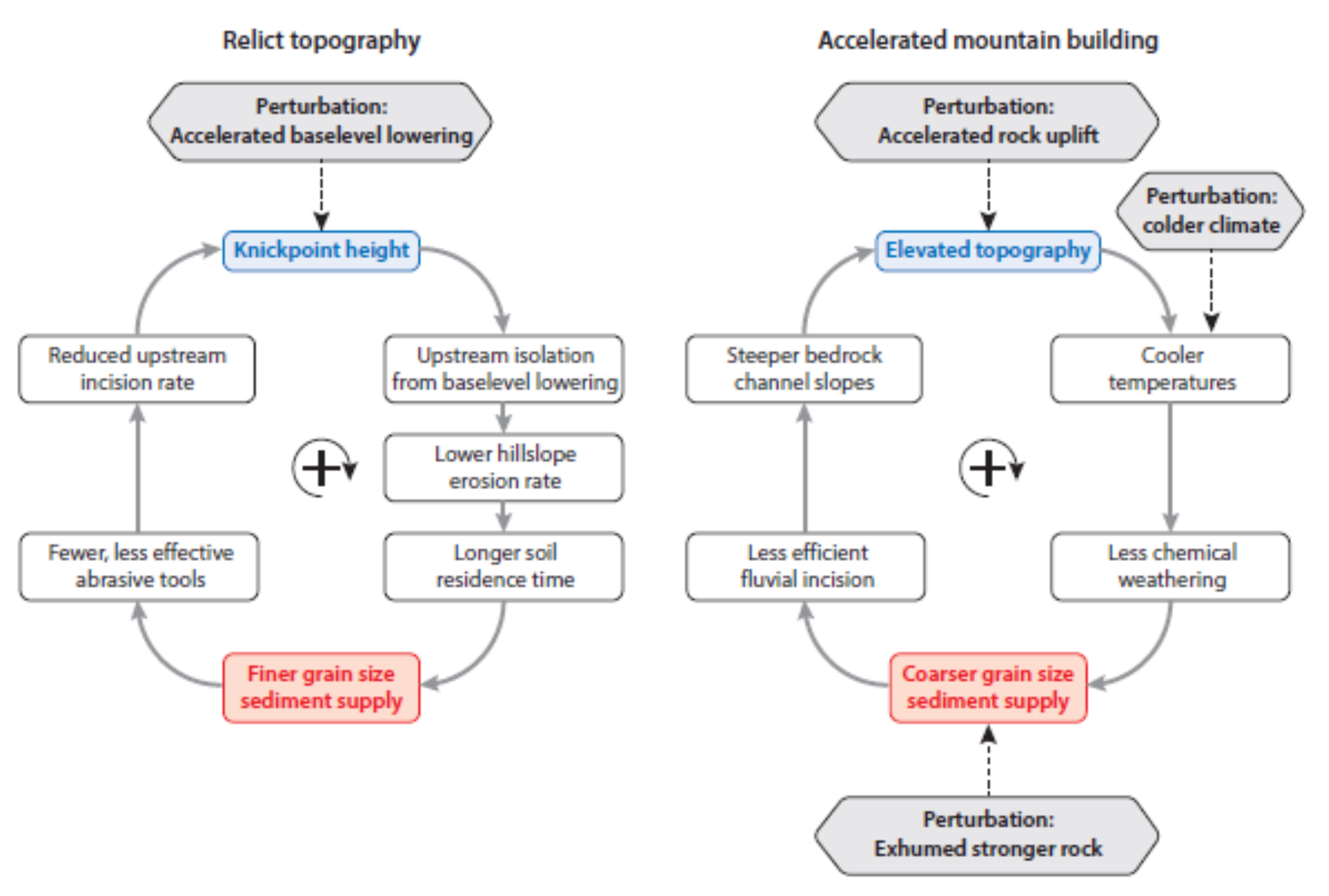 [Positive feedbacks linking grain size and topographic evolution. (Sklar, 2024, Grain Size in Landscapes, https://doi.org/10.1146/annurev-earth-052623-
075856)]
Influence of hillslope boulders on the topographic evolution of granitic landscapes
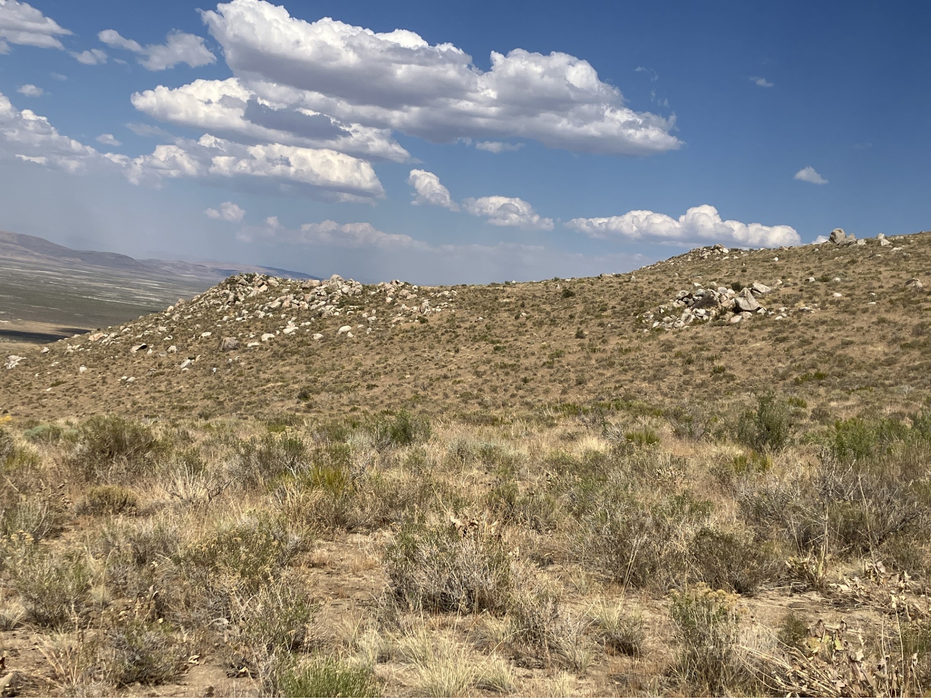
Boulders are commonly present on soil-mantled hillslopes in mountain landscapes underlain by granitic bedrock, with boulder density ranging from isolated individuals to nearly complete coverage. In a uniform lithology, hillslope boulders can be produced by heterogeneous subsurface weathering and erosion that exhumes corestones derived from fractured bedrock. Granitic corestone boulders have been observed in diverse climates, including the humid Luquillo Mountains of Puerto Rico and the semi-arid southern Sierra Nevada. Boulders have been shown to influence hillslope gradient and erosion rate, and once delivered to channels can inhibit river incision into bedrock. However, the influence of hillslope boulders on the topographic evolution of granitic landscapes remains poorly understood.
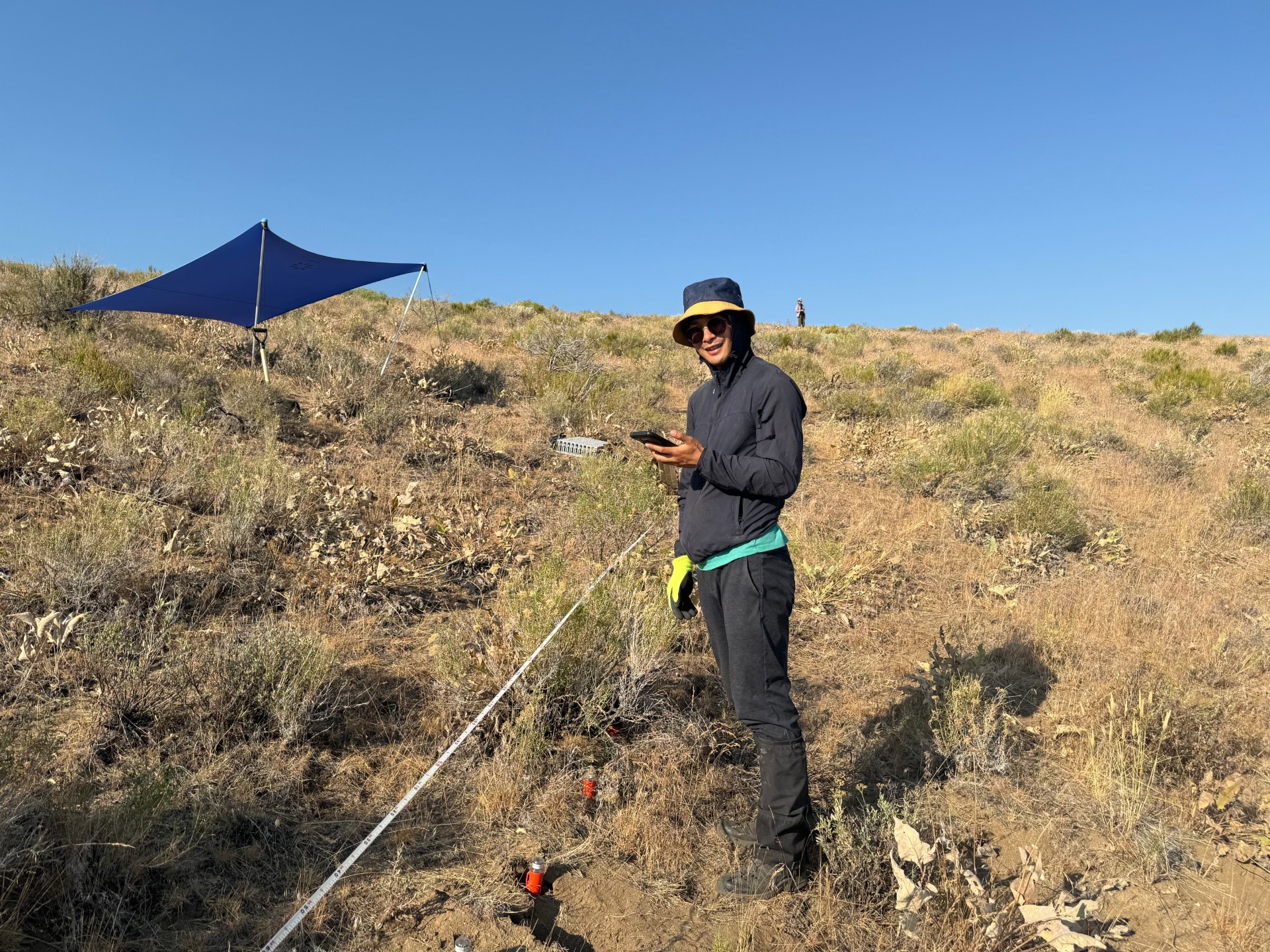
Currently, I am collaborating with critical zone scientists from University of Wyoming and University of Connecticut, and geophysicists from Virginia Tech to explore the weathering and erosion in a transient landscape in Fort Sage Mountains.
 [Field work at Fort Sage Mountain]